GIS
Geographic location affects peoples' health, nutrition, and access to health care services. The DHS Program can now analyze the impact of location using DHS data and geographic information systems (GIS). These spatial analyses improve our understanding of how location affects health status, leading to more effective interventions.
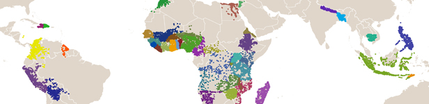
The DHS Program routinely collects geographic information in all surveyed countries. Using GIS, researchers can link DHS data with routine health data, health facility locations, local infrastructure such as roads and rivers, and environmental conditions. Linked DHS and geographic data are now being used to improve planning for family planning interventions, to assess the correlation of malaria prevalence and anemia in children in West Africa, and to analyze the effects of environment on early childhood mortality.
GIS Data at Work
Linked DHS and geographic data are now being used to meet a large variety of public health needs, including planning for HIV/AIDS and family planning programs and analysis of the effects of environment on early childhood mortality.
Resources